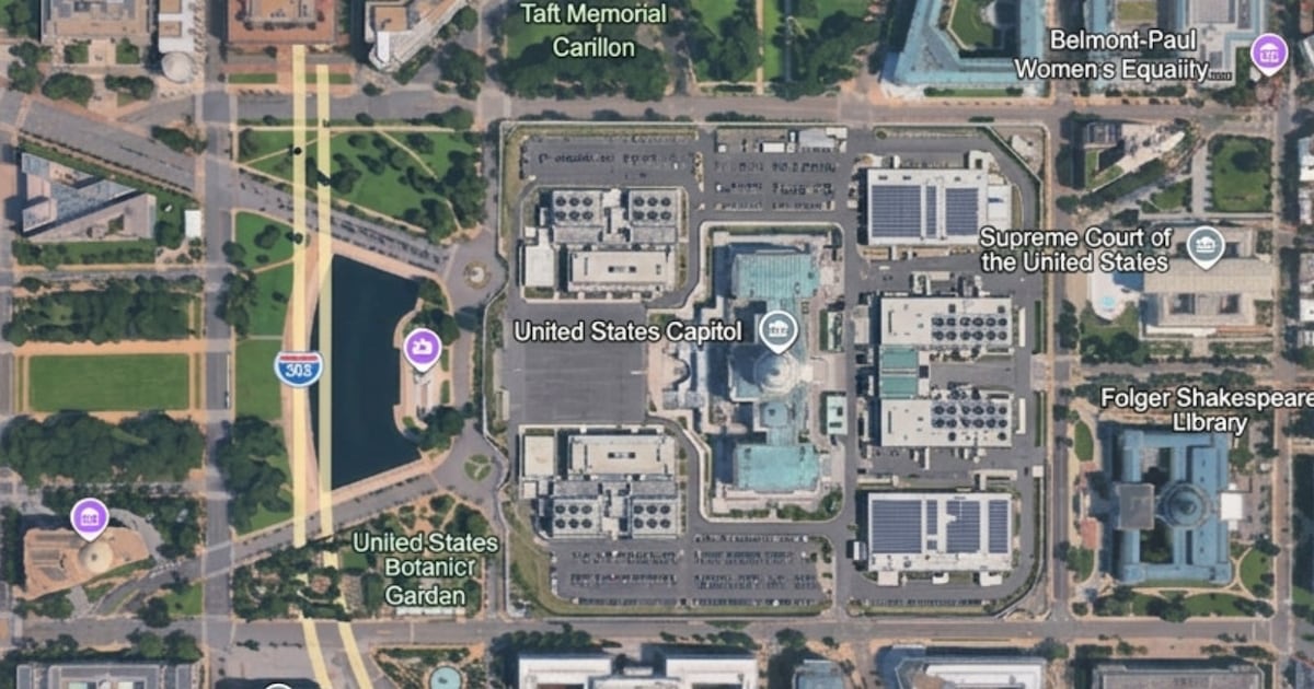
Google Earth has long been one of the places journalists, investigators and ordinary users go when they want to check what a location looks like. That trust is why the new AI image feature is causing concern. If a tool can generate realistic-looking satellite-style scenes inside a familiar mapping interface, the line between evidence and illustration becomes harder for the public to see.
Google announced that Nano Banana 2 image generation is coming to Google Earth on the web, allowing users to create visual scenes from map and 3D imagery. The company frames the feature around creativity, education, design and planning. Users can reimagine places, visualize historical scenes or experiment with how locations might look under different conditions.
The problem is that the same capability can also create misleading images anchored to real coordinates. Open-source intelligence researcher Henk van Ess demonstrated the risk in Digital Digging, showing how fake scenes could be generated on top of real-world places.
This is sensitive because satellite images have a special kind of authority. People may doubt a random social media photo, but a map-like overhead image looks official. It appears neutral, technical and verifiable. If a fake nuclear facility, bomb crater, refugee camp or military site appears in a satellite-style image, many users may share it before checking whether it is AI-generated.
Google says generated images include AI watermarks, including SynthID, and that the feature is not meant to alter official satellite imagery. That response matters, but it does not fully solve the trust problem. Watermarks are only useful when platforms, journalists or users actually check them. Screenshots can strip context. Reposts can detach images from metadata. In fast-moving conflicts, false imagery can spread faster than verification.
The issue is not that Google built an image generator. The issue is where it placed it. Google Earth is not a blank creative canvas in the public imagination. It is a reference tool. Courts, journalists, researchers, humanitarian groups and analysts use satellite and aerial imagery to understand the real world. Adding synthetic generation inside that environment creates a new verification burden.
This connects with the wider AI misinformation problem we have been tracking. Platforms are already trying to control low-quality synthetic content, as Snapchat decision to stop rewarding fully AI-generated Spotlight videos shows. But fake satellite-style imagery is more serious than ordinary AI slop because it can influence public understanding of wars, disasters, infrastructure projects and political claims.
There are practical safeguards Google could strengthen. Generated images should be clearly labelled in the image itself, not only through metadata or watermarking. Sharing should preserve labels. Search and social platforms should detect and flag these outputs. Journalists and OSINT teams will also need to cross-check suspicious imagery with independent sources such as Sentinel, Landsat, Maxar, Planet or official geospatial data.
For Africa, the issue is not remote. Satellite imagery is often used to verify floods, conflict damage, mining activity, border infrastructure, illegal logging and refugee movements. A tool that makes fake overhead imagery easier to produce could complicate investigations in places where independent access is already limited.
Google Earth AI image feature may have legitimate creative uses, but the trust cost is real. The internet is already struggling with synthetic text, photos, video and audio. Satellite-style imagery was one of the harder formats to fake convincingly at scale. Nano Banana 2 inside Google Earth suggests that may no longer be true, and verification habits will have to catch up quickly.
Related Reading
More contextual TechBooky stories selected from tags, categories and article context.
Paul Balo is the founder of TechBooky and a highly skilled wireless communications professional with a strong background in cloud computing, offering extensive experience in designing, implementing, and managing wireless communication systems.
We use cookies to ensure that we give you the best experience on our website. If you continue to use this site we will assume that you are happy with it.